VDCTC is part of Drainage Area (catchment delineation); the full section follows.
The drainage-report prep family, straight from the graded surface: delineate the catchment of a picked outlet by flow tracing on the TIN, run TR-55 travel times along its longest flow path, weight the curve number from soils and land cover, and export the pond's stage-storage-discharge. Drafts for the engineer's review.
Drainage-area boundary
Flow traces / longest flow path / outlet structure
Outlet, composite CN
Soils × land-cover pieces
What each does
- VDCDRAINAGEAREA: outlet points → steepest-descent flow tracing on the TIN triangles (channels along edges, flats coasted, memoised) → boundary of everything reaching the snap radius, acres, holes / islands, longest flow path with length + slope. Hatch, label, CSV; stamped.
- VDCTC: pick the path → sheet / shallow-concentrated / channel by length, slopes from the surface, TR-55 equations (pinned to the worked example) → labels, table, CSV, total stamped on the path and added to the area label.
- VDCCN: areas × VDCSOILS polygons (HSG) × cover polylines mapped by layer, exact polygon intersection → area-weighted CN from the editable TR-55 table; gaps and overlaps reported → drawing table, label update, subarea CSV (name, area, CN, Tc) + breakdown.
- VDCSTAGESTORAGE: pond surface or feature lines → exact TIN volume per stage + average-end-area + conic; outlet grid (orifice, weirs, riser, culvert) → stage-discharge; drawing table, HydroCAD + HEC-HMS CSVs.
Watch for
- Flow that reaches a local low point on the surface stops there - those triangles are not in your area. Pick the outlet at the true low point; the snap radius covers a small miss.
- TOUCHES THE WINDOW EDGE = the real area continues past the window you picked.
- TR-55 table values and the HydroCAD / HEC-HMS import formats are marked VERIFY until confirmed once; culverts are an inlet-control approximation.
- Civil 3D only. One settings file for the four:
%APPDATA%\VDC\Hydrology\settings.json.
Dialog
VDCDRAINAGEAREA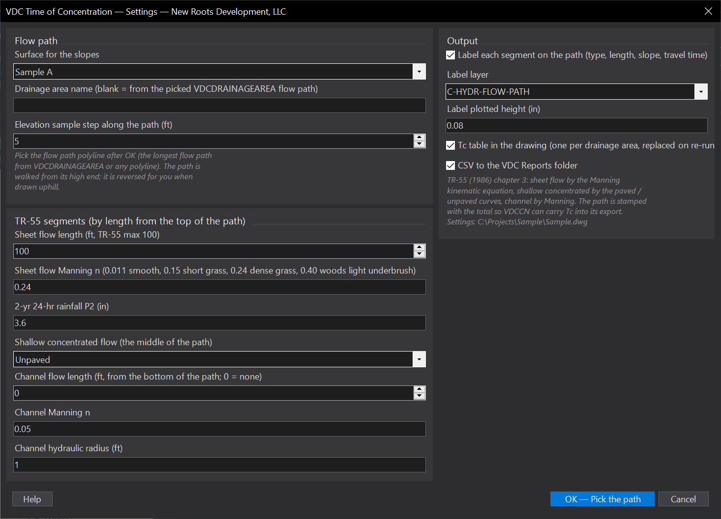
VDCTC
VDCCN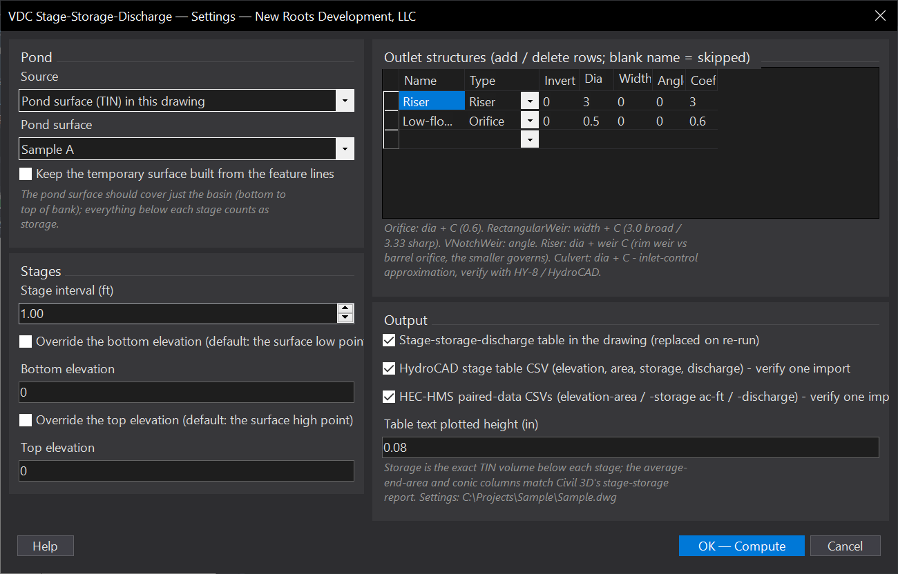
VDCSTAGESTORAGEWhen to use it
- Pre-development and post-development drainage areas for the stormwater report.
- Checking how much really drains to an inlet, a swale or a pond before sizing it.
How to run it
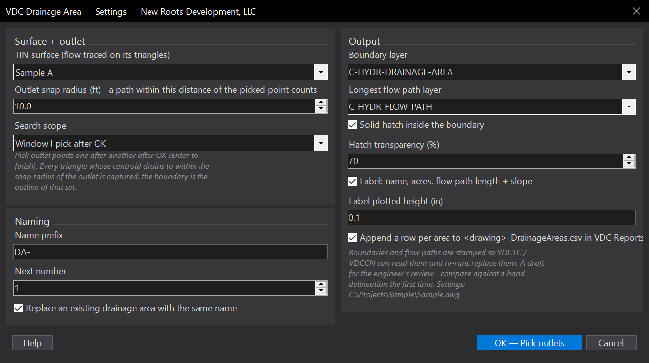
- Run VDCDRAINAGEAREA - pick the surface, snap radius, window or whole surface, naming, layers, hatch, label; OK.
- Pick the search window (if chosen), then click outlet points one after another; Enter to finish.
- Read the summary - acres, flow path, and whether the area touches the window edge (widen it if so).
Options
- Snap radius: a traced path counts when it passes within this distance of the outlet (10 ft default).
- Search scope: a window you pick (fast, and it bounds the answer) or the whole surface.
- Naming: prefix + next number (DA-1, DA-2 ...); a re-run with the same name replaces the old one.
- Output: boundary and flow path layers, hatch + transparency, label height, CSV.
Watch out for
- Pits and flat spots: flow that reaches a local low point on the surface (a sump, a pad) stops there - those triangles do not reach your outlet. Dead-flat triangles are coasted across in the incoming direction.
- The picked point must be ON the surface, ideally at the low point of the area; snap radius covers a small miss.
- TOUCHES THE WINDOW EDGE in the summary means the real area continues outside your window.
- On a plain slope the catchment of a point is a strip as wide as twice the snap radius - that is physics, not a bug; pick channel / inlet points.
Related: Time of Concentration · Curve Numbers · Drainage Arrows + Flow Paths